
Drone Mapping & Orthomosaic Capture
Structured aerial capture for a clearer view of the whole site.
Altura can capture overlapping aerial imagery for orthomosaic creation, site overview and visual project documentation where conventional photography alone doesn't provide enough context.
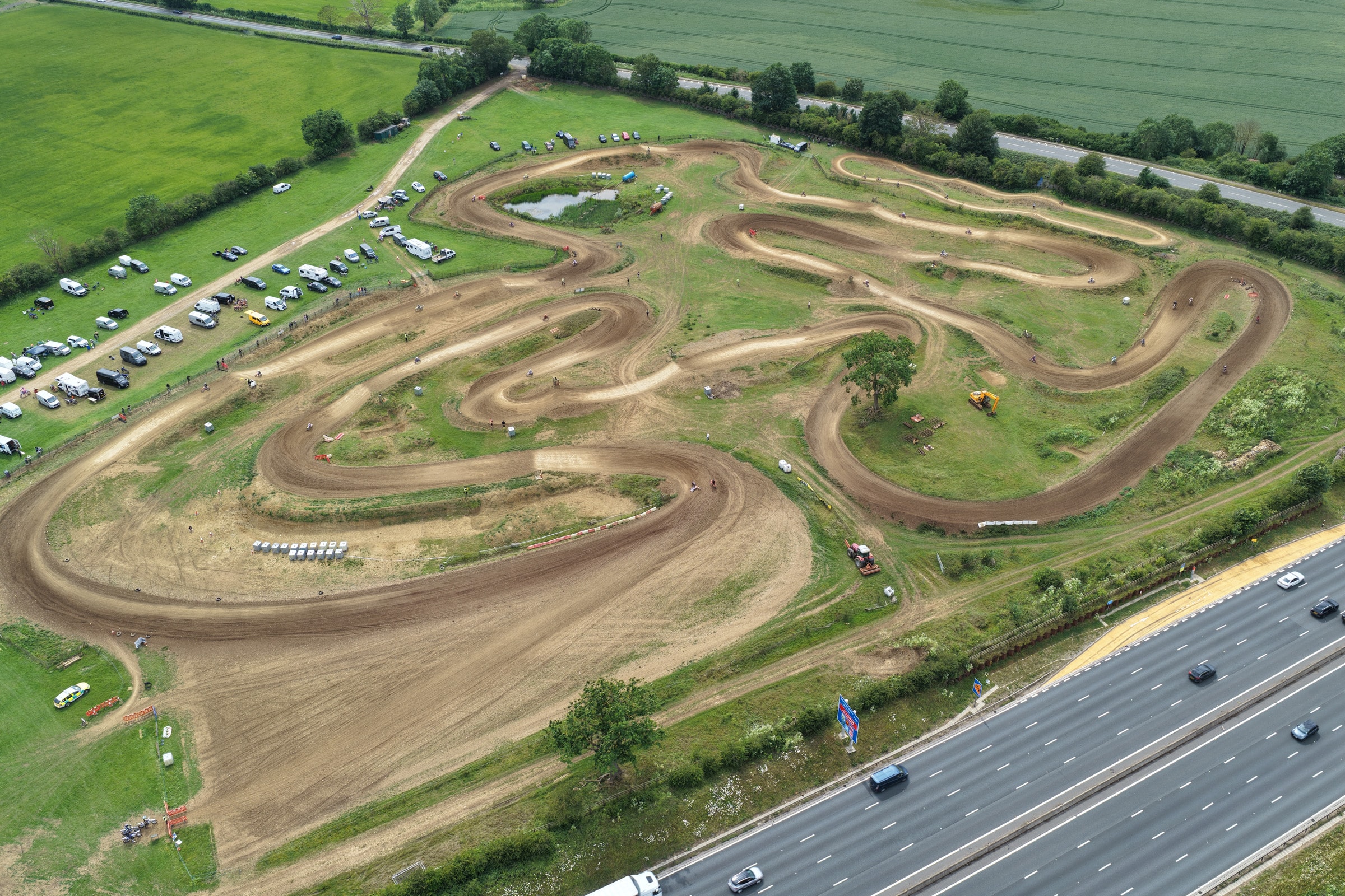
From individual photographs to a site-wide view
A conventional aerial photograph captures one perspective.
For some projects, a more structured view of the site is useful.
By capturing a planned sequence of overlapping images, aerial imagery can be combined into a wider orthomosaic representation that helps communicate layout, context and change across an area.
Visual site documentation
Orthomosaic and mapping-style capture can be useful for:
- Construction sites
- Property developments
- Commercial sites
- Large premises
- Estates and grounds
- Project records
- Site communication
The purpose is to make larger spaces easier to understand and communicate.
Supporting construction progress
Mapping-style capture can complement conventional progress photography by providing a wider view of the site at selected stages.
Used alongside repeatable aerial and ground photography, it can form part of a more complete visual project record.
Aerial data capture
Where a project requires structured aerial capture for specialist processing or analysis, requirements can be discussed before the flight.
Where specialist outputs or processing are required, the capture specification and final deliverables will be agreed according to the project requirements.
Important distinction
Altura's mapping and orthomosaic services are currently positioned around visual documentation, site overview and communication. They are not presented as a replacement for a formal land, topographical or RICS survey.
Not sure whether you need mapping?
You may not.
If high-quality aerial photography communicates what you need, there's little benefit in making the process more complicated.
Tell us what you're trying to understand, document or communicate and we'll recommend an appropriate capture approach.
Need a clearer view of a site?
Tell us about the location, area and intended use of the imagery.
Frequently asked questions
- What is an orthomosaic?
- An orthomosaic is created from multiple overlapping aerial photographs combined into a wider, corrected view of an area. It can make the layout of a site easier to understand than a single oblique aerial photograph.
- Is this a land survey?
- No. Altura currently provides mapping and orthomosaic capture for visual documentation, site overview and communication. Where formal survey outputs or certified measurements are required, those requirements should be handled by the appropriate surveying professionals.
- Can mapping be combined with progress photography?
- Yes. Structured aerial capture can form part of a wider construction progress assignment alongside conventional aerial and ground photography.