Flight planning and risk assessment
Every job includes pre-flight planning, airspace checks and an on-site risk assessment before the drone leaves the ground.

A clearer view of difficult-to-access areas without putting people where they don't need to be.
Altura provides high-resolution aerial photography and video to support visual inspection, maintenance planning and professional assessment of buildings, roofs and structures.
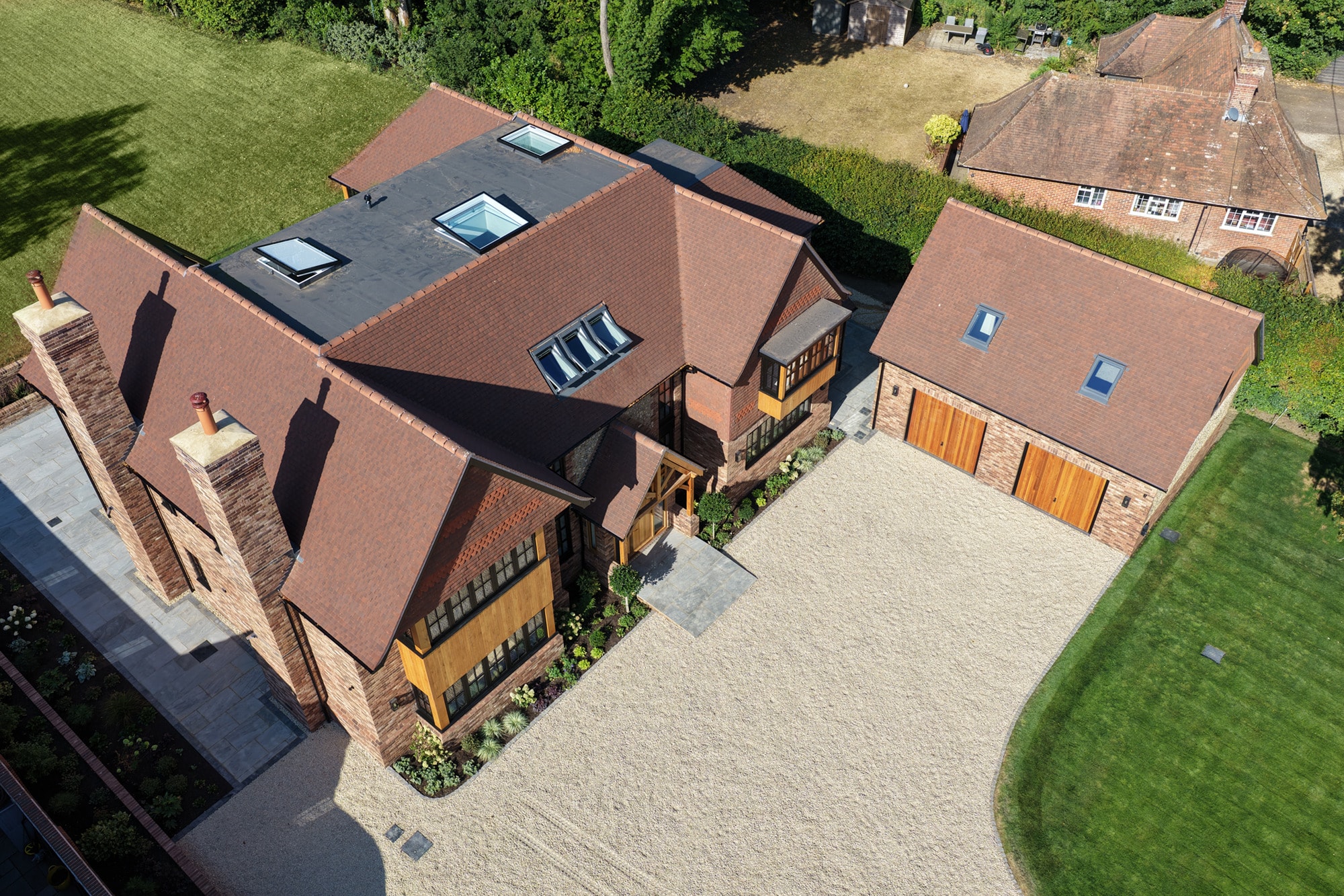
Roofs, elevations and other elevated areas can be difficult, disruptive or expensive to view closely.
A drone can provide detailed visual coverage from multiple angles while keeping the capture process at ground level.
The resulting imagery can be reviewed, shared and supplied to the relevant contractor or professional for further assessment.
Capture detailed aerial imagery of:
The aim is to provide a clear visual record of the area being inspected.
Aerial imagery can help building owners, facilities teams and contractors understand an area before deciding what further access or investigation is required.
It can also provide useful before-and-after documentation around maintenance or repair work.
For larger buildings and commercial premises, drone imagery can provide both close visual coverage and wider contextual views during the same visit.
This can be particularly useful where access from ground level is restricted or conventional elevated access would require additional planning.
Altura provides professional aerial imagery to support inspection and assessment. We do not provide structural, building or engineering assessments and do not diagnose defects.
Where specialist interpretation is required, imagery can be supplied to the client's surveyor, engineer, contractor or other suitably qualified professional.
Depending on the requirement, capture can include:
If a contractor or consultant needs particular areas photographed, the capture plan can be agreed before the flight.
Inspection work still depends on the operating environment.
The site, airspace, surrounding buildings, people, access and suitable take-off and landing areas are assessed before flying.
Every job includes pre-flight planning, airspace checks and an on-site risk assessment before the drone leaves the ground.
Altura Aerial Co operates with GVC and A2 CofC qualifications and £5 million public liability insurance.
Flights are carried out with professional DJI drone systems chosen for reliable image quality, stability and commercial project requirements.
Altura Aerial is the specialist aerial brand of Fun in Elk City Limited, bringing web, photography, video and digital delivery experience to every project.
Altura Aerial is operated by Fun in Elk City Limited, combining aerial capture with photography, video and digital delivery capability.
Tell us about the building, location and areas you need captured.